Log in
All resources
Create a design
10,854 Free Images of Historic Map
pages with maps
cc-zero
national register of historic places with known ids
baroque
architecture
uploaded via campaign:wlm-us
images from wiki loves monuments missing sdc depicts
images from wiki loves monuments missing sdc location of creation
national register of historic places missing sdc depicts
national register of historic places missing sdc location of creation
self-published work
city
village
town
self-published work
village
village
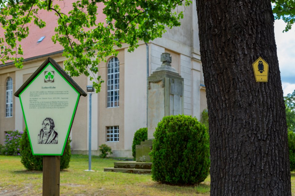
tree
self-published work
pages with maps
self-published work
architecture
self-published work
architecture
17th-century fortress plans
atlas van loon
village
roof
self-published work
pages with maps
sidewalk
night
vehicle
car
self-published work
pages with maps
architecture
sea
vehicle
car
architecture
garden
monochrome
white
topographia westphaliae (merian)
baroque
topographia westphaliae (merian)
baroque
topographia westphaliae (merian)
baroque
18th-century maps of catalonia
daniel de la feuille
gemeente atlas van nederland - north holland
maps of egmond aan zee
topographia helvetiae, rhaetiae et valesiae (1654) engravings
baroque
engravings of topographia braunschweig lüneburg
baroque
historical images of église saint-nicolas-du-chardonnet
map of paris by braun & hogenberg - derivative files
engravings by wolfgang kilian
old maps of bohemia
engravings of topographia braunschweig lüneburg
baroque
engravings of topographia braunschweig lüneburg
baroque
old maps of saint-louis (senegal)
orientalist painting
old maps of saint-louis (senegal)
orientalist painting
topographia braunschweig lüneburg (merian)
baroque
engravings of topographia braunschweig lüneburg
baroque
royal street, french quarter
cafés in new orleans
topographia braunschweig lüneburg (merian)
baroque
jan huygen van linschoten
baptista van doetecum
orleans street, french quarter
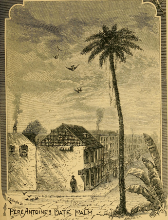
arecaceae in new orleans
historical sketch book and guide to new orleans and environs (1885)
madame john's legacy
maps by john cary
1801 maps
historical sketch book and guide to new orleans and environs (1885)
dueling oaks, new orleans
old maps of chania
1651 in chania
historisk atlas (stockholm, norstedt & söner, 1880)
maps of 11th-century italy
media from the national library of finland
classicism
engravings of topographia austriacarum
baroque
historical images of lucknow
edward weller
maps of cochem by braun & hogenberg
baroque
historical images of lucknow
edward weller
historical images of lucknow
edward weller
historical images of lucknow
edward weller
swamps in louisiana
1885 in louisiana
historical collections of the state of new jersey (1845)
maps facing west
topographia franconiae (merian)
baroque
turgot map of paris, david rumsey historical map collection – derivative files
couvent des célestins (paris)
engravings of topographia braunschweig lüneburg
baroque
topographia braunschweig lüneburg (merian)
baroque
engravings of topographia braunschweig lüneburg
baroque
topographia braunschweig lüneburg (merian)
baroque
maps of north america, nypl collection
novi belgii, atlas maior
historical images of palais bourbon
plans of castles in france
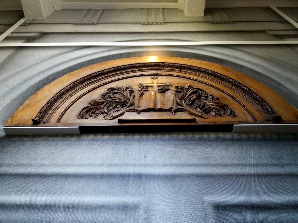
architecture
travel
interior
indoor
architecture
car
architecture
town
architectural drawings of luxembourg palace
historical images of luxembourg palace
architecture
clouds
pages with maps
vehicle
self-published work
city
maps of paris in the 1630s
baroque
self-published work
architecture
self-published work
architecture
vehicle
city
architecture
town
pages with maps
architecture
admiralty charts region r: usa and mexico west coasts
admiralty charts 401-600
historical images of palais des princes-evêques de liège
maps by willem and johannes blaeu
self-published work
pages with maps
architecture
lawn
maps of dortmund by braun & hogenberg
engravings of dortmund
18th-century french nautical charts
historical images of souda bay
historical images of église saint-nicolas-du-chardonnet
map of paris by braun & hogenberg - derivative files
historical maps of zittau
baroque
self-published work
architecture
landscape
mountain
self-published work
architecture
self-published work
architecture
architecture
city
hamburgische elbkarte von melchior lorichs
wilhelm hauers
engravings of topographia braunschweig lüneburg
baroque
roof
lawn
self-published work
architecture
18th-century maps of greenland
old maps of the arctic
turgot map of paris, david rumsey historical map collection – derivative files
palais des tuileries in art
maps of san francisco bay
admiralty map details
media from the national library of finland
classicism
david rumsey historical map collection
maps of basel by braun & hogenberg
illustrations from la grande encyclopédie, inventaire raisonné des sciences, des lettres et des arts
historical images of palais bourbon
engravings of topographia braunschweig lüneburg
baroque
topographia braunschweig lüneburg (merian)
baroque
historical images of the saint george complex in lydda
van de velde, 1857
historical collections of the state of new jersey (1845)
maps of newark, new jersey
turgot map of paris, kyoto university library – derivative files
lycée henri-iv
5101 - 5200 of 10,854
Next page
/ 109